The South East access to Tremar Coombe
Introduction
The photograph on this page of The South East access to Tremar Coombe by St Clarus as part of the Geograph project.
The Geograph project started in 2005 with the aim of publishing, organising and preserving representative images for every square kilometre of Great Britain, Ireland and the Isle of Man.

There are currently over 7.5m images from over 14,400 individuals and you can help contribute to the project by visiting https://www.geograph.org.uk
The South East access to Tremar Coombe
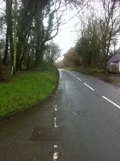
Image: © St Clarus Taken: 21 Dec 2015
The South Eastern part of Tremar Coombe, the start of Tremar Common, still Common Land, although much of which has become difficult to access.
Images are licensed for reuse under creativecommons.org/licenses/by-sa/2.0
Image Location
Latitude
50.488051
Longitude
-4.459316