Unadopted road leading to Milk Lane
Introduction
The photograph on this page of Unadopted road leading to Milk Lane by St Clarus as part of the Geograph project.
The Geograph project started in 2005 with the aim of publishing, organising and preserving representative images for every square kilometre of Great Britain, Ireland and the Isle of Man.

There are currently over 7.5m images from over 14,400 individuals and you can help contribute to the project by visiting https://www.geograph.org.uk
Unadopted road leading to Milk Lane
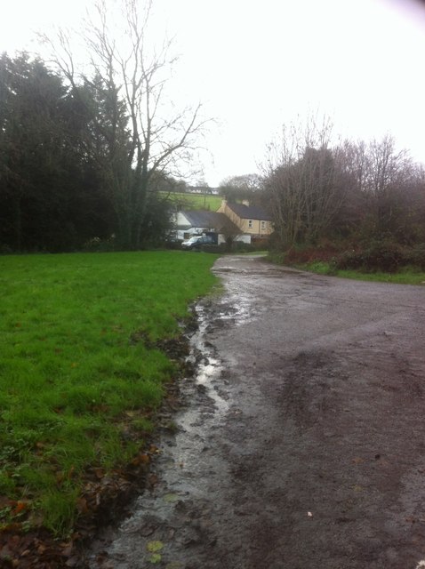
Image: © St Clarus Taken: 21 Dec 2015
Unadopted road leading to properties adjacent to the track known locally as Milk Lane. The name Milk Lane is believed to derive from the use of it by the Milkman, possibly collecting milk from the former farm that before its demolition stood on the site now known as Venlands Manor. The farm was owned by the Hoskin family.
Images are licensed for reuse under creativecommons.org/licenses/by-sa/2.0
Image Location
Latitude
50.487934
Longitude
-4.460579