The Avenue, Dipton
Introduction
The photograph on this page of The Avenue, Dipton by Robert Graham as part of the Geograph project.
The Geograph project started in 2005 with the aim of publishing, organising and preserving representative images for every square kilometre of Great Britain, Ireland and the Isle of Man.

There are currently over 7.5m images from over 14,400 individuals and you can help contribute to the project by visiting https://www.geograph.org.uk
The Avenue, Dipton
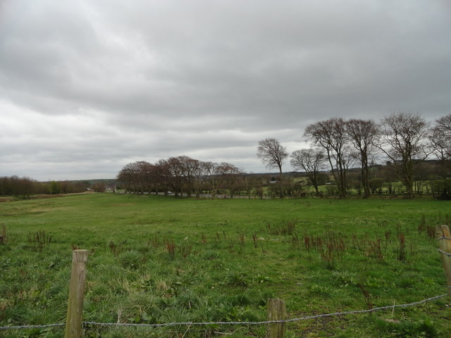
Image: © Robert Graham Taken: 9 Apr 2014
Viewed looking south from near Stob House farm. This road was originally Fondley Set Lane, but was changed to The Avenue to follow local custom. The big trees lining it provide the obvious reason for the new name.
Images are licensed for reuse under creativecommons.org/licenses/by-sa/2.0
Image Location
Latitude
54.872419
Longitude
-1.753293