Tuag at Gyffig / Towards Cyffig
Introduction
The photograph on this page of Tuag at Gyffig / Towards Cyffig by Alan Richards as part of the Geograph project.
The Geograph project started in 2005 with the aim of publishing, organising and preserving representative images for every square kilometre of Great Britain, Ireland and the Isle of Man.

There are currently over 7.5m images from over 14,400 individuals and you can help contribute to the project by visiting https://www.geograph.org.uk
Tuag at Gyffig / Towards Cyffig
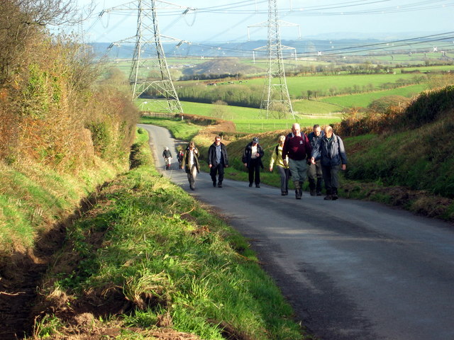
Image: © Alan Richards Taken: 11 Nov 2007
Cerddwyr yn dilyn hen heol i gyfeiriad Cyffig cyn i ffordd ddeuol yr A477 newid y tirlun. Walkers following the old road in the direction of Cyffig before the A477 dual carriageway changed the landscape.
Images are licensed for reuse under creativecommons.org/licenses/by-sa/2.0
Image Location
Latitude
51.793627
Longitude
-4.57092