Crossroads at East Castle
Introduction
The photograph on this page of Crossroads at East Castle by Robert Graham as part of the Geograph project.
The Geograph project started in 2005 with the aim of publishing, organising and preserving representative images for every square kilometre of Great Britain, Ireland and the Isle of Man.

There are currently over 7.5m images from over 14,400 individuals and you can help contribute to the project by visiting https://www.geograph.org.uk
Crossroads at East Castle
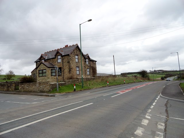
Image: © Robert Graham Taken: 9 Apr 2014
This is the junction of Pontop Pike Lane, on the left, with the main road to Stanley, the A693. East Castle House here is almost all that remains of the pit village which stood here until the 1950's.
Images are licensed for reuse under creativecommons.org/licenses/by-sa/2.0
Image Location
Latitude
54.863016
Longitude
-1.77002