The Larne line near Larne
Introduction
The photograph on this page of The Larne line near Larne by Albert Bridge as part of the Geograph project.
The Geograph project started in 2005 with the aim of publishing, organising and preserving representative images for every square kilometre of Great Britain, Ireland and the Isle of Man.

There are currently over 7.5m images from over 14,400 individuals and you can help contribute to the project by visiting https://www.geograph.org.uk
The Larne line near Larne
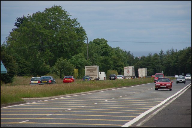
Image: © Albert Bridge Taken: 25 Jun 2007
See Image This is the view towards Larne as the road approaches Millbrook roundabout – the fourth roundabout from the harbour.
Images are licensed for reuse under creativecommons.org/licenses/by-sa/2.0
Image Location


Leaflet Map data © OpenStreetMap
Latitude
54.842389
Longitude
-5.860406