Farmhouse at Pontop Pike Farm
Introduction
The photograph on this page of Farmhouse at Pontop Pike Farm by Robert Graham as part of the Geograph project.
The Geograph project started in 2005 with the aim of publishing, organising and preserving representative images for every square kilometre of Great Britain, Ireland and the Isle of Man.

There are currently over 7.5m images from over 14,400 individuals and you can help contribute to the project by visiting https://www.geograph.org.uk
Farmhouse at Pontop Pike Farm
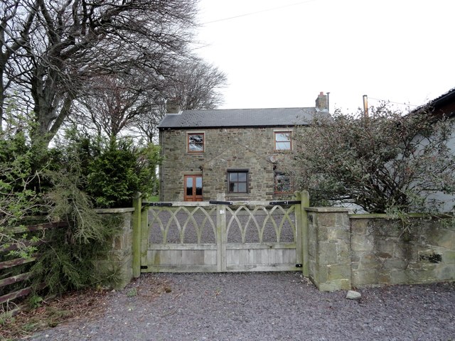
Image: © Robert Graham Taken: 9 Apr 2014
This farm dates back to the late C18 or early C19, after the Lanchester Commons Enclosure Act of 1773 when a lot of the local farms were established on the former common. At nearly 1000ft on top of Pontop Pike it must be a tough place to farm.
Images are licensed for reuse under creativecommons.org/licenses/by-sa/2.0
Image Location
Latitude
54.868762
Longitude
-1.767183