Grubby distances and directions sign alongside the A4043 St Luke's Road, Pontnewynydd
Introduction
The photograph on this page of Grubby distances and directions sign alongside the A4043 St Luke's Road, Pontnewynydd by Jaggery as part of the Geograph project.
The Geograph project started in 2005 with the aim of publishing, organising and preserving representative images for every square kilometre of Great Britain, Ireland and the Isle of Man.

There are currently over 7.5m images from over 14,400 individuals and you can help contribute to the project by visiting https://www.geograph.org.uk
Grubby distances and directions sign alongside the A4043 St Luke's Road, Pontnewynydd
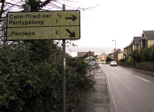
Image: © Jaggery Taken: 17 Dec 2015
Junctions (and shops) are ahead. Behind the grubby sign, a red-edged triangular sign warns of traffic lights ahead.
Images are licensed for reuse under creativecommons.org/licenses/by-sa/2.0
Image Location
Latitude
51.712437
Longitude
-3.055232