Farmhouse at Raisenside, Dioton
Introduction
The photograph on this page of Farmhouse at Raisenside, Dioton by Robert Graham as part of the Geograph project.
The Geograph project started in 2005 with the aim of publishing, organising and preserving representative images for every square kilometre of Great Britain, Ireland and the Isle of Man.

There are currently over 7.5m images from over 14,400 individuals and you can help contribute to the project by visiting https://www.geograph.org.uk
Farmhouse at Raisenside, Dioton
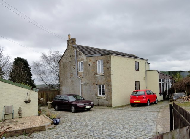
Image: © Robert Graham Taken: 9 Apr 2014
This farm is just south of Pontop Pike Lane in Dipton. It was one of those established after the Enclosures Act of 1773. The house probably dates from that time or a bit later, although it has been altered since.
Images are licensed for reuse under creativecommons.org/licenses/by-sa/2.0
Image Location
Latitude
54.871532
Longitude
-1.75922