Rear view of Fondley Set farmhouse
Introduction
The photograph on this page of Rear view of Fondley Set farmhouse by Robert Graham as part of the Geograph project.
The Geograph project started in 2005 with the aim of publishing, organising and preserving representative images for every square kilometre of Great Britain, Ireland and the Isle of Man.

There are currently over 7.5m images from over 14,400 individuals and you can help contribute to the project by visiting https://www.geograph.org.uk
Rear view of Fondley Set farmhouse
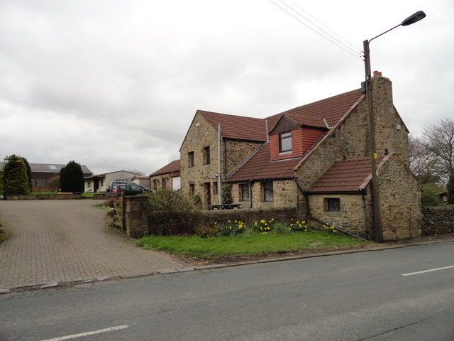
Image: © Robert Graham Taken: 9 Apr 2014
This farm is on the road out of Dipton village towards Harelaw. The road was originally called Fondleyset Lane but is now usually known as The Avenue, from the row of mighty Beech trees which lines it.
Images are licensed for reuse under creativecommons.org/licenses/by-sa/2.0
Image Location
Latitude
54.873413
Longitude
-1.756247