Bus shelter on Greenock Road
Introduction
The photograph on this page of Bus shelter on Greenock Road by Thomas Nugent as part of the Geograph project.
The Geograph project started in 2005 with the aim of publishing, organising and preserving representative images for every square kilometre of Great Britain, Ireland and the Isle of Man.

There are currently over 7.5m images from over 14,400 individuals and you can help contribute to the project by visiting https://www.geograph.org.uk
Bus shelter on Greenock Road
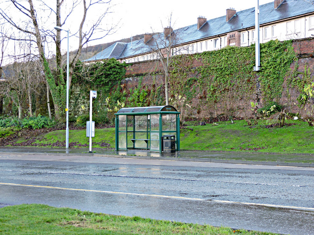
Image: © Thomas Nugent Taken: 6 Dec 2015
This used to be the A8 dual carriageway, but it was singled when the new A8 opened along the waterfront in 2007. The Glasgow to Gourock & Wemyss Bay railway line runs behind.
Images are licensed for reuse under creativecommons.org/licenses/by-sa/2.0
Image Location
Latitude
55.935223
Longitude
-4.697951