Road junction in Hooton Levitt
Introduction
The photograph on this page of Road junction in Hooton Levitt by Neil Theasby as part of the Geograph project.
The Geograph project started in 2005 with the aim of publishing, organising and preserving representative images for every square kilometre of Great Britain, Ireland and the Isle of Man.

There are currently over 7.5m images from over 14,400 individuals and you can help contribute to the project by visiting https://www.geograph.org.uk
Road junction in Hooton Levitt
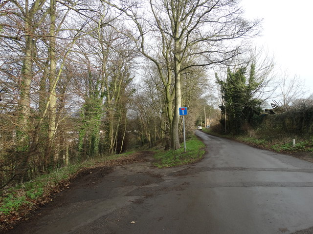
Image: © Neil Theasby Taken: 18 Dec 2015
The track on the left leads down to Maltby Beck with a path branching off towards St Bartholomew's Church which has for centuries served the people of Hooton Levitt.
Images are licensed for reuse under creativecommons.org/licenses/by-sa/2.0
Image Location
Latitude
53.418182
Longitude
-1.216651