Bench mark outside #31 Eaton Road, Handbridge
Introduction
The photograph on this page of Bench mark outside #31 Eaton Road, Handbridge by John S Turner as part of the Geograph project.
The Geograph project started in 2005 with the aim of publishing, organising and preserving representative images for every square kilometre of Great Britain, Ireland and the Isle of Man.

There are currently over 7.5m images from over 14,400 individuals and you can help contribute to the project by visiting https://www.geograph.org.uk
Bench mark outside #31 Eaton Road, Handbridge
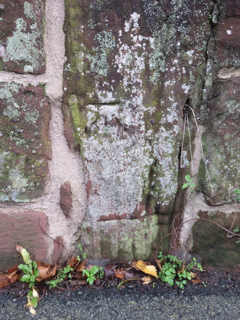
Image: © John S Turner Taken: 14 Dec 2015
This bench mark is on a stone post set into the old sandstone wall alongside Eaton Road, in front of #31. The mark first appeared on the 1954 O.S. map. The stone wall once bounded allotment gardens, but when modern houses were built in the late 1960s they were set back from the wall and were provided with their own footpath between the wall and their gardens. See also Image For details see http://www.bench-marks.org.uk/bm72240
Images are licensed for reuse under creativecommons.org/licenses/by-sa/2.0
Image Location
Latitude
53.180231
Longitude
-2.887262