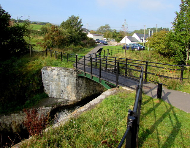
Aaron Brute's Bridge - Gateway to Forgeside
Introduction
The photograph on this page of Aaron Brute's Bridge - Gateway to Forgeside by Jaggery as part of the Geograph project.
The Geograph project started in 2005 with the aim of publishing, organising and preserving representative images for every square kilometre of Great Britain, Ireland and the Isle of Man.
There are currently over 7.5m images from over 14,400 individuals and you can help contribute to the project by visiting https://www.geograph.org.uk

Image: © Jaggery Taken: 19 Sep 2015
A nearby information board states that at peak production, the ironworks at Blaenavon needed a constant supply of coal. In 1812, a new mine was sunk into the hillside nearby, on the other side of the river (the Afon Lwyd). A bridge was needed to provide a more direct route from mine to ironworks. The bridge seen here is the one that was built to give that route. It is one of the oldest remaining iron bridges in Wales. It bears the name of Aaron Brute, a Monmouthshire stonemason who may have been the manager of the mine at that time. The bridge supported an early form of railway, a horse-drawn tramroad, along which coal was transported. It seems that the mine was not very productive, and closed down after little more than 20 years. The bridge remained, eventually becoming a footbridge linking the community of Forgeside on one side of the river valley with the town of Blaenavon on the other side. After years of neglect, Aaron Brute's Bridge was recently restored as a footbridge, and a reminder of the ingenuity and endeavour that forged what is now a world heritage landscape
Image Location


