The New Farmhouse at Upper Houses
Introduction
The photograph on this page of The New Farmhouse at Upper Houses by Robert Graham as part of the Geograph project.
The Geograph project started in 2005 with the aim of publishing, organising and preserving representative images for every square kilometre of Great Britain, Ireland and the Isle of Man.

There are currently over 7.5m images from over 14,400 individuals and you can help contribute to the project by visiting https://www.geograph.org.uk
The New Farmhouse at Upper Houses
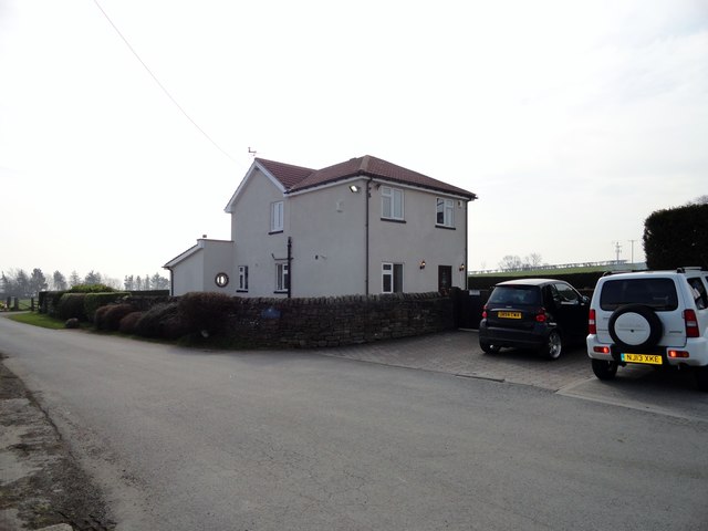
Image: © Robert Graham Taken: 10 Apr 2015
This farmhouse was built sometime in the C20. It has a sign with its name and a picture of a Friesian dairy cow. At that time this was a dairy farm, however later it moved over purely into milk processing as Lanchester Dairies.
Images are licensed for reuse under creativecommons.org/licenses/by-sa/2.0
Image Location
Latitude
54.815209
Longitude
-1.770291