Stoke-upon-Trent: Floyd Street / Hall Street
Introduction
The photograph on this page of Stoke-upon-Trent: Floyd Street / Hall Street by Jonathan Hutchins as part of the Geograph project.
The Geograph project started in 2005 with the aim of publishing, organising and preserving representative images for every square kilometre of Great Britain, Ireland and the Isle of Man.

There are currently over 7.5m images from over 14,400 individuals and you can help contribute to the project by visiting https://www.geograph.org.uk
Stoke-upon-Trent: Floyd Street / Hall Street
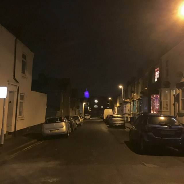
Image: © Jonathan Hutchins Taken: 10 Dec 2015
This street bears two street name signs one above another high on the wall of the building on the left. The older states 'Hall Street', the newer 'Floyd Street'.
Images are licensed for reuse under creativecommons.org/licenses/by-sa/2.0
Image Location
Latitude
53.007294
Longitude
-2.187586