River Terrace to the north and east of cressage bridge.
Introduction
The photograph on this page of River Terrace to the north and east of cressage bridge. by Bob Bowyer as part of the Geograph project.
The Geograph project started in 2005 with the aim of publishing, organising and preserving representative images for every square kilometre of Great Britain, Ireland and the Isle of Man.

There are currently over 7.5m images from over 14,400 individuals and you can help contribute to the project by visiting https://www.geograph.org.uk
River Terrace to the north and east of cressage bridge.
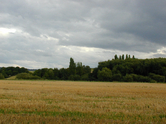
Image: © Bob Bowyer Taken: 1 Sep 2005
10 to 20 metre terrace behind the wheatfield. Poplar and probably oak trees around and on the terrace.
Images are licensed for reuse under creativecommons.org/licenses/by-sa/2.0
Image Location


Leaflet Map data © OpenStreetMap
Latitude
52.636726
Longitude
-2.599892