Plantations amid farmland near to Esh
Introduction
The photograph on this page of Plantations amid farmland near to Esh by Trevor Littlewood as part of the Geograph project.
The Geograph project started in 2005 with the aim of publishing, organising and preserving representative images for every square kilometre of Great Britain, Ireland and the Isle of Man.

There are currently over 7.5m images from over 14,400 individuals and you can help contribute to the project by visiting https://www.geograph.org.uk
Plantations amid farmland near to Esh
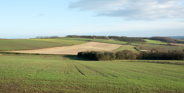
Image: © Trevor Littlewood Taken: 10 Dec 2015
Two plantations are seen in the image; the one right of centre is named Fortypence Plantation, the other is un-named on OS maps.
Images are licensed for reuse under creativecommons.org/licenses/by-sa/2.0
Image Location
Latitude
54.786616
Longitude
-1.683529