Brunswick Road, Pirbright
Introduction
The photograph on this page of Brunswick Road, Pirbright by Alan Hunt as part of the Geograph project.
The Geograph project started in 2005 with the aim of publishing, organising and preserving representative images for every square kilometre of Great Britain, Ireland and the Isle of Man.

There are currently over 7.5m images from over 14,400 individuals and you can help contribute to the project by visiting https://www.geograph.org.uk
Brunswick Road, Pirbright
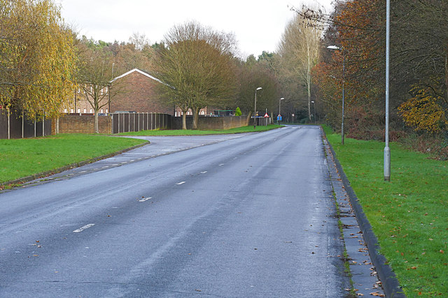
Image: © Alan Hunt Taken: 7 Dec 2015
Looking east along Brunswick Road towards the junction with Heather Walk in the Army housing estate. This section of Brunswick road was constructed in the early 1980s along the southern boundary of the estate.
Images are licensed for reuse under creativecommons.org/licenses/by-sa/2.0
Image Location
Latitude
51.304109
Longitude
-0.653813