Lane near Collacott
Introduction
The photograph on this page of Lane near Collacott by Derek Harper as part of the Geograph project.
The Geograph project started in 2005 with the aim of publishing, organising and preserving representative images for every square kilometre of Great Britain, Ireland and the Isle of Man.

There are currently over 7.5m images from over 14,400 individuals and you can help contribute to the project by visiting https://www.geograph.org.uk
Lane near Collacott
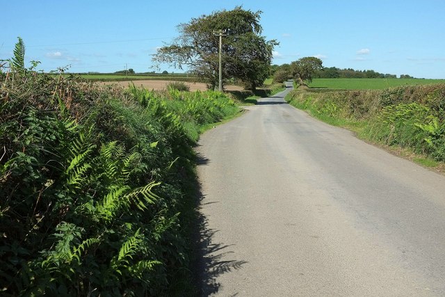
Image: © Derek Harper Taken: 26 Sep 2015
North of Barton Cross and heading for Heddon Cross. Chittlehampton Footpath 21 uses the farm lane past Collacott, which turns off left beside the nearest tree.
Images are licensed for reuse under creativecommons.org/licenses/by-sa/2.0
Image Location
Latitude
51.033876
Longitude
-3.929988