Kingsbury Circle
Introduction
The photograph on this page of Kingsbury Circle by Nigel Cox as part of the Geograph project.
The Geograph project started in 2005 with the aim of publishing, organising and preserving representative images for every square kilometre of Great Britain, Ireland and the Isle of Man.

There are currently over 7.5m images from over 14,400 individuals and you can help contribute to the project by visiting https://www.geograph.org.uk
Kingsbury Circle
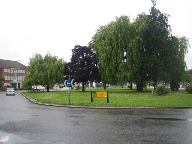
Image: © Nigel Cox Taken: 24 Jun 2007
This roundabout is at the junction of the A4006 Kingsbury Road / Kenton Road with the A4140 Fryent Way / Honeypot Lane. A corner of the boundary between the London Boroughs of Brent and Harrow is in the centre! Like most of the roundabouts in the area this is more of a squareabout, as evidenced by the long straight kerbline on the left. The Kingsland Hotel is on the left http://www.kingslandhotel.co.uk/
Images are licensed for reuse under creativecommons.org/licenses/by-sa/2.0
Image Location
Latitude
51.584581
Longitude
-0.28238