Watching the floodwater level in Broad Street
Introduction
The photograph on this page of Watching the floodwater level in Broad Street by Rose and Trev Clough as part of the Geograph project.
The Geograph project started in 2005 with the aim of publishing, organising and preserving representative images for every square kilometre of Great Britain, Ireland and the Isle of Man.

There are currently over 7.5m images from over 14,400 individuals and you can help contribute to the project by visiting https://www.geograph.org.uk
Watching the floodwater level in Broad Street
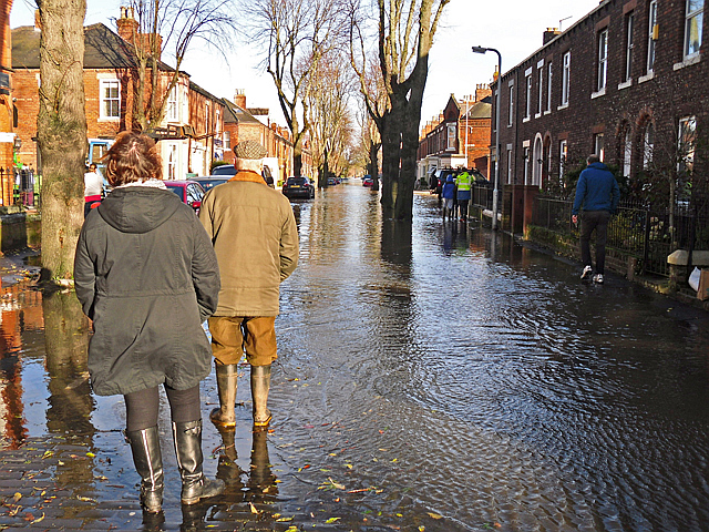
Image: © Rose and Trev Clough Taken: 6 Dec 2015
The far end of this street joins Warwick Road, where deeper flood water had already forced many residents to evacuate.
Images are licensed for reuse under creativecommons.org/licenses/by-sa/2.0
Image Location
Latitude
54.892702
Longitude
-2.923417