Bridge Street towards Lamb Lane, Crickhowell
Introduction
The photograph on this page of Bridge Street towards Lamb Lane, Crickhowell by Jaggery as part of the Geograph project.
The Geograph project started in 2005 with the aim of publishing, organising and preserving representative images for every square kilometre of Great Britain, Ireland and the Isle of Man.

There are currently over 7.5m images from over 14,400 individuals and you can help contribute to the project by visiting https://www.geograph.org.uk
Bridge Street towards Lamb Lane, Crickhowell
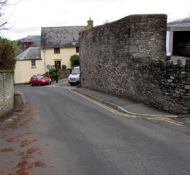
Image: © Jaggery Taken: 22 Nov 2015
Bridge Street descends towards the junction at the southern end of Lamb Lane. http://www.geograph.org.uk/photo/3039606 Double yellow lines on both sides of Bridge Street indicate no parking at any time.
Images are licensed for reuse under creativecommons.org/licenses/by-sa/2.0
Image Location
Latitude
51.8574
Longitude
-3.139646