Charlestown from Kersal
Introduction
The photograph on this page of Charlestown from Kersal by Carroll Pierce as part of the Geograph project.
The Geograph project started in 2005 with the aim of publishing, organising and preserving representative images for every square kilometre of Great Britain, Ireland and the Isle of Man.

There are currently over 7.5m images from over 14,400 individuals and you can help contribute to the project by visiting https://www.geograph.org.uk
Charlestown from Kersal
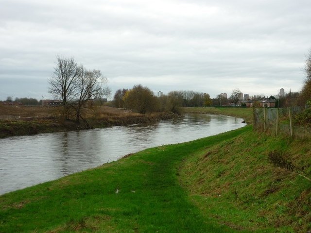
Image: © Carroll Pierce Taken: 6 Dec 2015
Taken at the bridge linking Kersal with Castle Irwell playing fields (currently closed while the flood plain development is ongoing), I am looking south across Charlestown, Salford. Pendleton is off to the right of shot.
Images are licensed for reuse under creativecommons.org/licenses/by-sa/2.0
Image Location
Latitude
53.505461
Longitude
-2.275721