Corner view of The Crown, Albrighton
Introduction
The photograph on this page of Corner view of The Crown, Albrighton by Jaggery as part of the Geograph project.
The Geograph project started in 2005 with the aim of publishing, organising and preserving representative images for every square kilometre of Great Britain, Ireland and the Isle of Man.

There are currently over 7.5m images from over 14,400 individuals and you can help contribute to the project by visiting https://www.geograph.org.uk
Corner view of The Crown, Albrighton
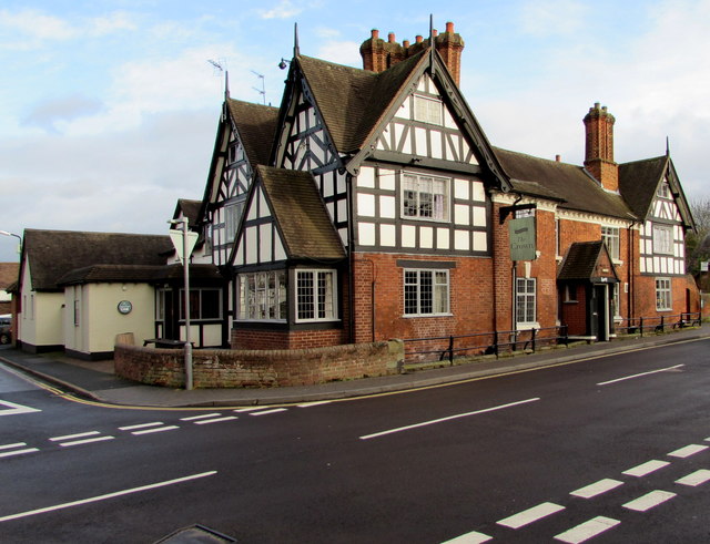
Image: © Jaggery Taken: 1 Dec 2015
On the corner of High Street (on the right) and Station Road. Built as a house in the 16th century, remodelled in the early 18th century with various later additions and alterations. Grade II listed in 1984.
Images are licensed for reuse under creativecommons.org/licenses/by-sa/2.0
Image Location


Leaflet Map data © OpenStreetMap
Latitude
52.634773
Longitude
-2.278042