Salcott-cum-Virley church
Introduction
The photograph on this page of Salcott-cum-Virley church by Robin Webster as part of the Geograph project.
The Geograph project started in 2005 with the aim of publishing, organising and preserving representative images for every square kilometre of Great Britain, Ireland and the Isle of Man.

There are currently over 7.5m images from over 14,400 individuals and you can help contribute to the project by visiting https://www.geograph.org.uk
Salcott-cum-Virley church
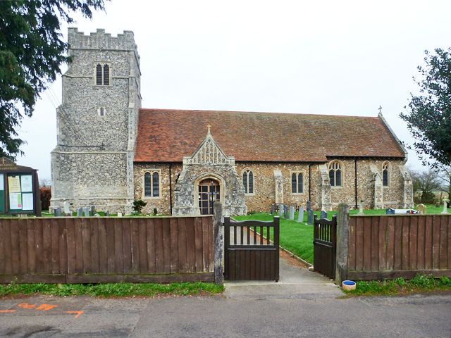
Image: © Robin Webster Taken: 6 Dec 2015
St. Mary's. Presumably this was once just the church for Salcott - there is a ruined church by Virley Hall not so far away, a victim of the Colchester earthquake in 1884. This church was as well, but was repaired. A grade II*(star) listed building, 14th century and mainly later.
Images are licensed for reuse under creativecommons.org/licenses/by-sa/2.0
Image Location
Latitude
51.786819
Longitude
0.828601