Former New River Arms, Turnford
Introduction
The photograph on this page of Former New River Arms, Turnford by Rob Candlish as part of the Geograph project.
The Geograph project started in 2005 with the aim of publishing, organising and preserving representative images for every square kilometre of Great Britain, Ireland and the Isle of Man.

There are currently over 7.5m images from over 14,400 individuals and you can help contribute to the project by visiting https://www.geograph.org.uk
Former New River Arms, Turnford
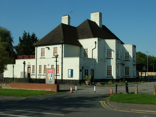
Image: © Rob Candlish Taken: 10 Sep 2015
The now closed New River Arms public house seen from The Springs. It seems likely the building will be demolished and replaced with flats.
Images are licensed for reuse under creativecommons.org/licenses/by-sa/2.0
Image Location
Latitude
51.724263
Longitude
-0.026893