A3066 near Misterton
Introduction
The photograph on this page of A3066 near Misterton by Derek Harper as part of the Geograph project.
The Geograph project started in 2005 with the aim of publishing, organising and preserving representative images for every square kilometre of Great Britain, Ireland and the Isle of Man.

There are currently over 7.5m images from over 14,400 individuals and you can help contribute to the project by visiting https://www.geograph.org.uk
A3066 near Misterton
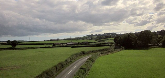
Image: © Derek Harper Taken: 15 Aug 2015
From a train which has just crossed the railway bridge over it. The trees on the right almost obscure houses on Packers Way at the east end of the village. Well Spring Farm, left of centre, is over a grid line in Image
Images are licensed for reuse under creativecommons.org/licenses/by-sa/2.0
Image Location
Latitude
50.869885
Longitude
-2.765929