Churchyard, St John the Baptist, Buckhorn Weston
Introduction
The photograph on this page of Churchyard, St John the Baptist, Buckhorn Weston by Maigheach-gheal as part of the Geograph project.
The Geograph project started in 2005 with the aim of publishing, organising and preserving representative images for every square kilometre of Great Britain, Ireland and the Isle of Man.

There are currently over 7.5m images from over 14,400 individuals and you can help contribute to the project by visiting https://www.geograph.org.uk
Churchyard, St John the Baptist, Buckhorn Weston
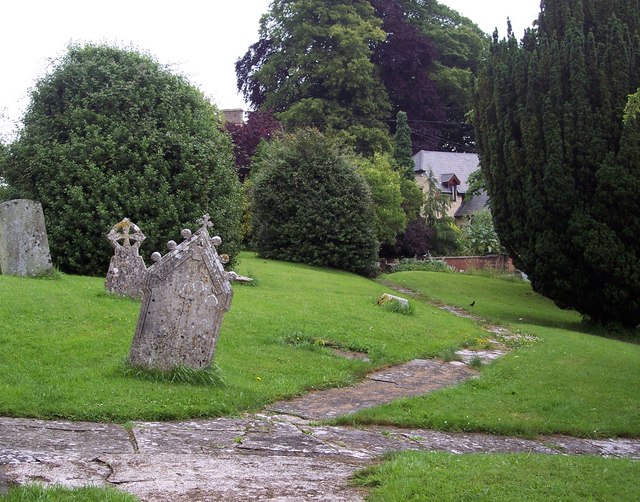
Image: © Maigheach-gheal Taken: 23 Jun 2007
The church is situated on a hillside and the subsidence damage is clearly visible.
Images are licensed for reuse under creativecommons.org/licenses/by-sa/2.0
Image Location
Latitude
51.021245
Longitude
-2.347542