Craigendoran Pier and Firth of Clyde, 1994
Introduction
The photograph on this page of Craigendoran Pier and Firth of Clyde, 1994 by Ben Brooksbank as part of the Geograph project.
The Geograph project started in 2005 with the aim of publishing, organising and preserving representative images for every square kilometre of Great Britain, Ireland and the Isle of Man.

There are currently over 7.5m images from over 14,400 individuals and you can help contribute to the project by visiting https://www.geograph.org.uk
Craigendoran Pier and Firth of Clyde, 1994
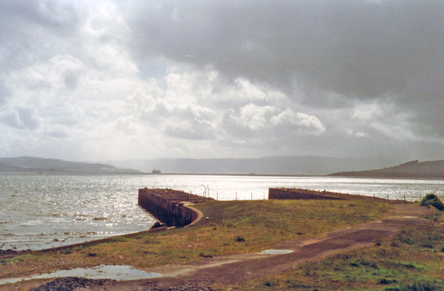
Image: © Ben Brooksbank Taken: 22 Jun 1994
View west from the station: Gourock (Kempock Point) on the left, then mountains of Cowal in the background, and Roseneath Point nearer on the right. (Cf. Image).
Images are licensed for reuse under creativecommons.org/licenses/by-sa/2.0
Image Location
Latitude
55.994694
Longitude
-4.711718