Terraced houses on south side of Bathurst Gardens
Introduction
The photograph on this page of Terraced houses on south side of Bathurst Gardens by David Smith as part of the Geograph project.
The Geograph project started in 2005 with the aim of publishing, organising and preserving representative images for every square kilometre of Great Britain, Ireland and the Isle of Man.

There are currently over 7.5m images from over 14,400 individuals and you can help contribute to the project by visiting https://www.geograph.org.uk
Terraced houses on south side of Bathurst Gardens
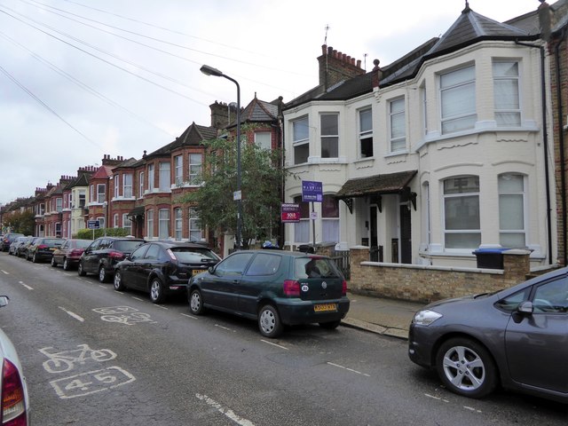
Image: © David Smith Taken: 26 Nov 2015
Most of the houses still have tile panels in their porches, visible in the pair of white painted buildings. The road markings indicate a cycle route
Images are licensed for reuse under creativecommons.org/licenses/by-sa/2.0
Image Location


Leaflet Map data © OpenStreetMap
Latitude
51.533445
Longitude
-0.229949