Building site, Sandgate Esplanade
Introduction
The photograph on this page of Building site, Sandgate Esplanade by John Baker as part of the Geograph project.
The Geograph project started in 2005 with the aim of publishing, organising and preserving representative images for every square kilometre of Great Britain, Ireland and the Isle of Man.

There are currently over 7.5m images from over 14,400 individuals and you can help contribute to the project by visiting https://www.geograph.org.uk
Building site, Sandgate Esplanade
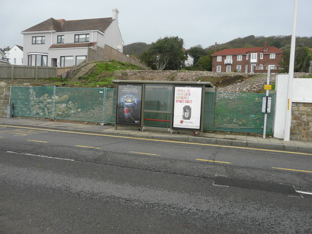
Image: © John Baker Taken: 8 Nov 2015
Planning permission has been approved, with conditions, by Folkestone and Hythe District Council under application number Y15/0112/SH for a “section 73 application to vary condition 2 of planning permission Y11/0537/SH for the erection of two, four storey blocks comprising ten flats in total, following excavation of the site together with parking below and associated engineering works, in order to allow an increase in the overall height of the building by 750mm, reduce the lower ground floor area of the building, and omit the tandem parking layout, provide increased refuse storage and secure cycle provision. The location was given as land adjoining West Wedge (a house to the right of the site, not shown here).
Images are licensed for reuse under creativecommons.org/licenses/by-sa/2.0
Image Location
Latitude
51.072417
Longitude
1.135443