2A & 2B, Tanner?s Hill
Introduction
The photograph on this page of 2A & 2B, Tanner?s Hill by John Baker as part of the Geograph project.
The Geograph project started in 2005 with the aim of publishing, organising and preserving representative images for every square kilometre of Great Britain, Ireland and the Isle of Man.

There are currently over 7.5m images from over 14,400 individuals and you can help contribute to the project by visiting https://www.geograph.org.uk
2A & 2B, Tanner?s Hill
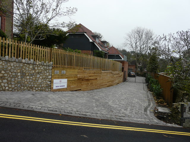
Image: © John Baker Taken: 8 Nov 2015
Compared with Image, another house has been built. Two small plaques, affixed to the wooden boarding, indicate that 2A is Magnolia House and 2B is Crow’s Nest (I suppose this name refers to the further house).
Images are licensed for reuse under creativecommons.org/licenses/by-sa/2.0
Image Location
Latitude
51.073363
Longitude
1.089818