North end of Clifford Bridge Road, Walsgrave, Coventry
Introduction
The photograph on this page of North end of Clifford Bridge Road, Walsgrave, Coventry by Robin Stott as part of the Geograph project.
The Geograph project started in 2005 with the aim of publishing, organising and preserving representative images for every square kilometre of Great Britain, Ireland and the Isle of Man.

There are currently over 7.5m images from over 14,400 individuals and you can help contribute to the project by visiting https://www.geograph.org.uk
North end of Clifford Bridge Road, Walsgrave, Coventry
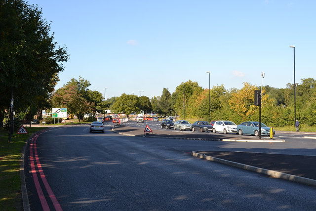
Image: © Robin Stott Taken: 1 Oct 2015
The traffic lights are at the turn for the University Hospital approach road just off to the right. The roadworks ahead are a remodelling of the junction with Ansty Road, A4600.
Images are licensed for reuse under creativecommons.org/licenses/by-sa/2.0
Image Location
Latitude
52.4212
Longitude
-1.447506