Platt's Heath School
Introduction
The photograph on this page of Platt's Heath School by John Brown as part of the Geograph project.
The Geograph project started in 2005 with the aim of publishing, organising and preserving representative images for every square kilometre of Great Britain, Ireland and the Isle of Man.

There are currently over 7.5m images from over 14,400 individuals and you can help contribute to the project by visiting https://www.geograph.org.uk
Platt's Heath School
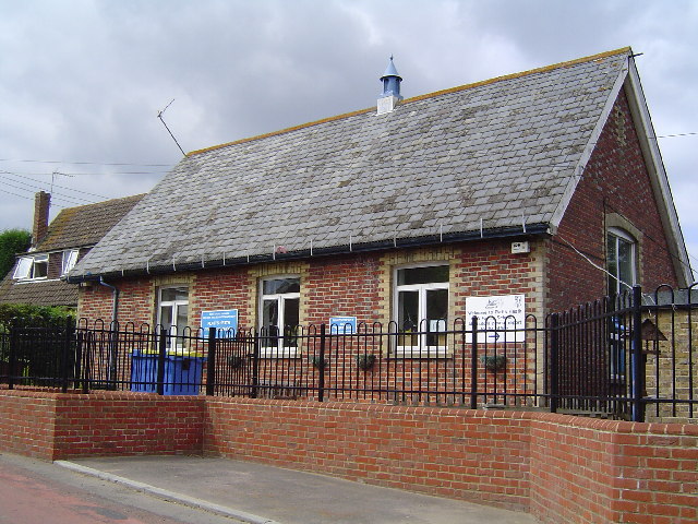
Image: © John Brown Taken: 1 Sep 2005
The Classroom is also used as the Assembly Hall and Dining Room
Images are licensed for reuse under creativecommons.org/licenses/by-sa/2.0
Image Location
Latitude
51.223729
Longitude
0.686645