Bradford Peverell, signpost
Introduction
The photograph on this page of Bradford Peverell, signpost by Mike Faherty as part of the Geograph project.
The Geograph project started in 2005 with the aim of publishing, organising and preserving representative images for every square kilometre of Great Britain, Ireland and the Isle of Man.

There are currently over 7.5m images from over 14,400 individuals and you can help contribute to the project by visiting https://www.geograph.org.uk
Bradford Peverell, signpost
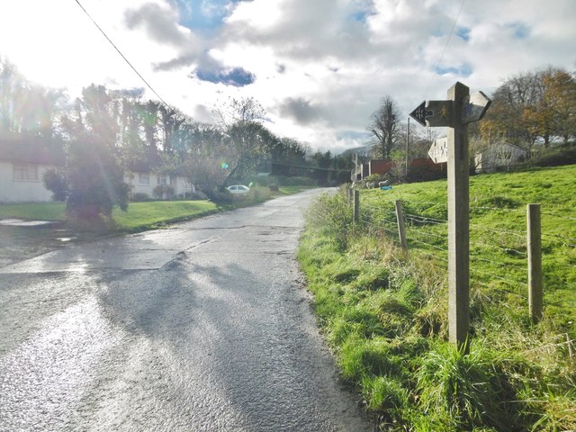
Image: © Mike Faherty Taken: 25 Nov 2015
At the top of Church Lane; left, footpath behind village cottages to Roman Road; ahead, bridleway to New Barn and Westwood House.
Images are licensed for reuse under creativecommons.org/licenses/by-sa/2.0
Image Location
Latitude
50.735059
Longitude
-2.486129