The Apple Tree and a 19th century flyover
Introduction
The photograph on this page of The Apple Tree and a 19th century flyover by Robin Webster as part of the Geograph project.
The Geograph project started in 2005 with the aim of publishing, organising and preserving representative images for every square kilometre of Great Britain, Ireland and the Isle of Man.

There are currently over 7.5m images from over 14,400 individuals and you can help contribute to the project by visiting https://www.geograph.org.uk
The Apple Tree and a 19th century flyover
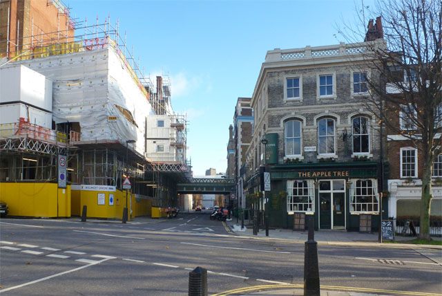
Image: © Robin Webster Taken: 21 Nov 2015
Down Warner Street, EC1, Rosebury Avenue crosses via a bridge built in 1890. It is a grade II listed building, as is the pub on the corner.
Images are licensed for reuse under creativecommons.org/licenses/by-sa/2.0
Image Location
Latitude
51.523415
Longitude
-0.111557