2 Lovibonds Avenue
Introduction
The photograph on this page of 2 Lovibonds Avenue by Ian Capper as part of the Geograph project.
The Geograph project started in 2005 with the aim of publishing, organising and preserving representative images for every square kilometre of Great Britain, Ireland and the Isle of Man.

There are currently over 7.5m images from over 14,400 individuals and you can help contribute to the project by visiting https://www.geograph.org.uk
2 Lovibonds Avenue
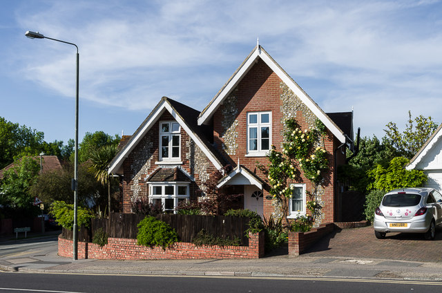
Image: © Ian Capper Taken: 3 Jun 2013
House at the junction of Lovibonds Avenue and Starts Hill Road. Old mapping suggests that it dates from the 1880s/1890s.
Images are licensed for reuse under creativecommons.org/licenses/by-sa/2.0
Image Location
Latitude
51.365092
Longitude
0.063261