Entrance to Quaker Lane, Northallerton
Introduction
The photograph on this page of Entrance to Quaker Lane, Northallerton by Bob Embleton as part of the Geograph project.
The Geograph project started in 2005 with the aim of publishing, organising and preserving representative images for every square kilometre of Great Britain, Ireland and the Isle of Man.

There are currently over 7.5m images from over 14,400 individuals and you can help contribute to the project by visiting https://www.geograph.org.uk
Entrance to Quaker Lane, Northallerton
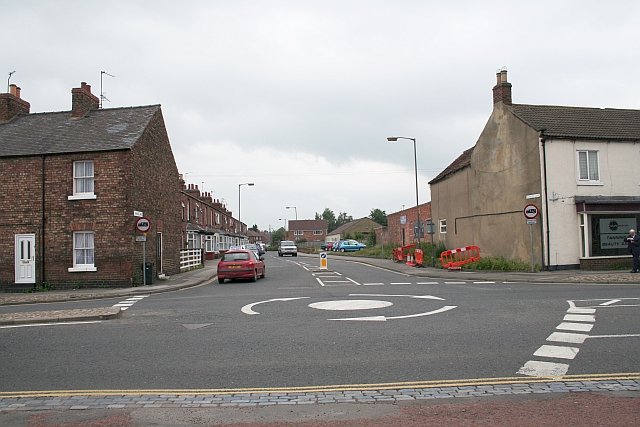
Image: © Bob Embleton Taken: 18 Jun 2007
Quaker Lane links the north end of the High Street A167 to Brompton Road A684 and can be used sometimes as a rat-run to avoid the heavier traffic in Friarage Street. I have never been able to find out why it is called Quaker Lane.
Images are licensed for reuse under creativecommons.org/licenses/by-sa/2.0
Image Location
Latitude
54.343658
Longitude
-1.437592