Wightwick Lock, and Bridge, Staffordshire and Worcestershire Canal
Introduction
The photograph on this page of Wightwick Lock, and Bridge, Staffordshire and Worcestershire Canal by Roger Kidd as part of the Geograph project.
The Geograph project started in 2005 with the aim of publishing, organising and preserving representative images for every square kilometre of Great Britain, Ireland and the Isle of Man.

There are currently over 7.5m images from over 14,400 individuals and you can help contribute to the project by visiting https://www.geograph.org.uk
Wightwick Lock, and Bridge, Staffordshire and Worcestershire Canal
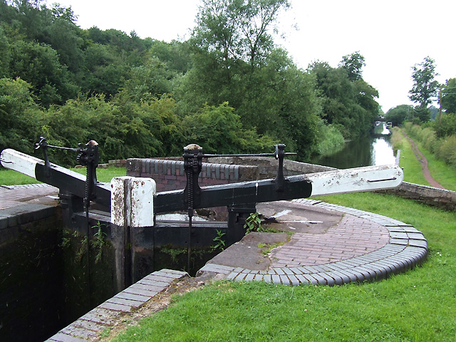
Image: © Roger Kidd Taken: 23 Jun 2007
Wightwick Bridge (No.57), immediately below the bottom gates of the lock, was purely a farmers' access bridge connecting land each side of the canal. The lock drops the level 2.64 metres (8 ft. 8in.). The 46 mile canal, from Great Haywood to the River Severn was opened in 1772 at a cost of rather over £100,000.
Images are licensed for reuse under creativecommons.org/licenses/by-sa/2.0
Image Location
Latitude
52.582716
Longitude
-2.190637