Turn left for Llangattock
Introduction
The photograph on this page of Turn left for Llangattock by Jaggery as part of the Geograph project.
The Geograph project started in 2005 with the aim of publishing, organising and preserving representative images for every square kilometre of Great Britain, Ireland and the Isle of Man.

There are currently over 7.5m images from over 14,400 individuals and you can help contribute to the project by visiting https://www.geograph.org.uk
Turn left for Llangattock
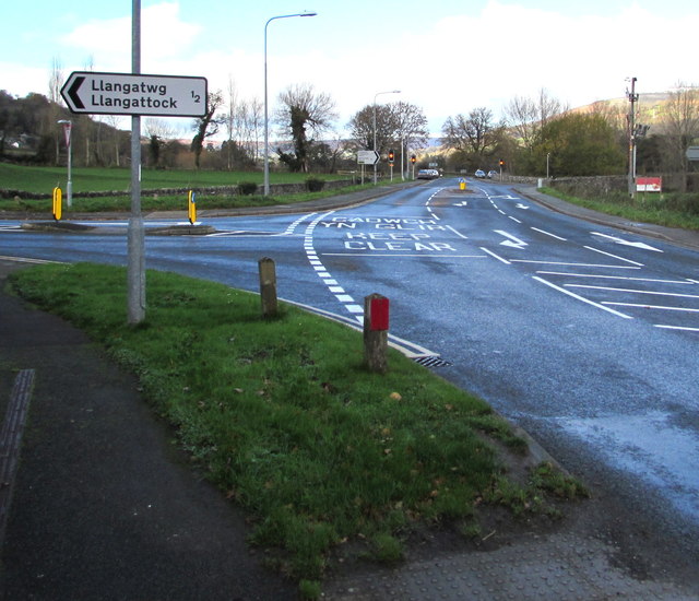
Image: © Jaggery Taken: 22 Nov 2015
The sign faces the A4077 at the northwest edge of the hamlet of Legar. The right turn 100 metres ahead leads to Crickhowell via Crickhowell Bridge over the River Usk.
Images are licensed for reuse under creativecommons.org/licenses/by-sa/2.0
Image Location
Latitude
51.855304
Longitude
-3.142497