Llangattock Community Council noticeboard
Introduction
The photograph on this page of Llangattock Community Council noticeboard by Jaggery as part of the Geograph project.
The Geograph project started in 2005 with the aim of publishing, organising and preserving representative images for every square kilometre of Great Britain, Ireland and the Isle of Man.

There are currently over 7.5m images from over 14,400 individuals and you can help contribute to the project by visiting https://www.geograph.org.uk
Llangattock Community Council noticeboard
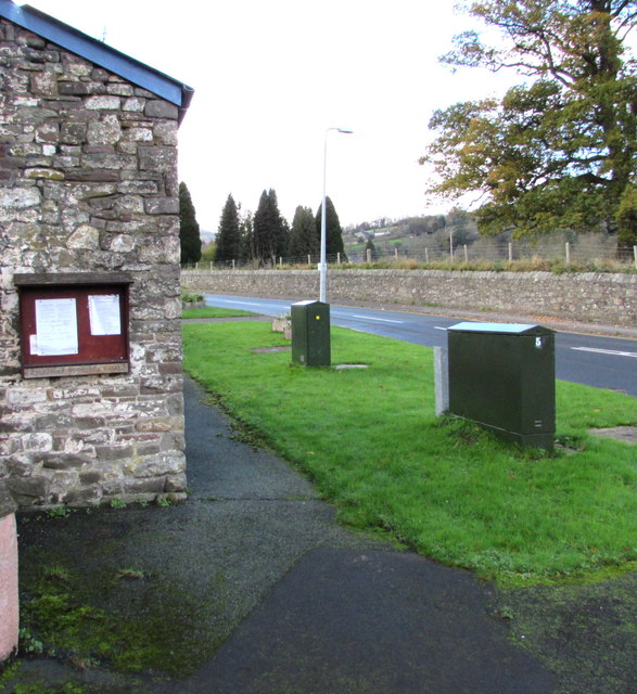
Image: © Jaggery Taken: 22 Nov 2015
On the corner of the A4077 and Hillside Road, 100 metres from the Llangattock village boundary sign. http://www.geograph.org.uk/photo/4747611 There are two notices on display on November 22nd 2015. One shows the agenda for the next council meeting. The other one announces that a poll for the election of one Community Councillor will be held on Thursday November 26th 2015 between the hours of 07:00 and 22:00
Images are licensed for reuse under creativecommons.org/licenses/by-sa/2.0
Image Location
Latitude
51.855214
Longitude
-3.142495