A4077 from Legar towards Gilwern
Introduction
The photograph on this page of A4077 from Legar towards Gilwern by Jaggery as part of the Geograph project.
The Geograph project started in 2005 with the aim of publishing, organising and preserving representative images for every square kilometre of Great Britain, Ireland and the Isle of Man.

There are currently over 7.5m images from over 14,400 individuals and you can help contribute to the project by visiting https://www.geograph.org.uk
A4077 from Legar towards Gilwern
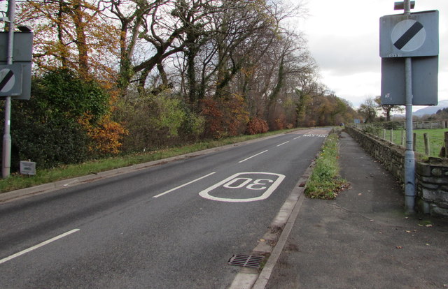
Image: © Jaggery Taken: 22 Nov 2015
The 30mph speed limit through Legar, a hamlet near Crickhowell, increases to the National Speed Limit. The trees and bushes on the left are on a bank of the River Usk.
Images are licensed for reuse under creativecommons.org/licenses/by-sa/2.0
Image Location
Latitude
51.852238
Longitude
-3.134144