Gloucester Road, Horfield
Introduction
The photograph on this page of Gloucester Road, Horfield by Derek Harper as part of the Geograph project.
The Geograph project started in 2005 with the aim of publishing, organising and preserving representative images for every square kilometre of Great Britain, Ireland and the Isle of Man.

There are currently over 7.5m images from over 14,400 individuals and you can help contribute to the project by visiting https://www.geograph.org.uk
Gloucester Road, Horfield
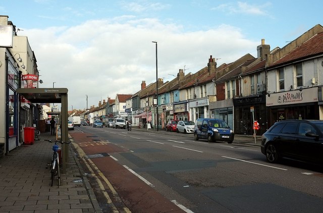
Image: © Derek Harper Taken: 16 Nov 2015
Looking north along the A38 from the junction with Ashley Down Road. On the right is a soft play coffee lounge, followed by a hairdressers, a letting agency and an Indian curry house.
Images are licensed for reuse under creativecommons.org/licenses/by-sa/2.0
Image Location
Latitude
51.484094
Longitude
-2.586512