Kingscote Way, Brighton
Introduction
The photograph on this page of Kingscote Way, Brighton by Simon Carey as part of the Geograph project.
The Geograph project started in 2005 with the aim of publishing, organising and preserving representative images for every square kilometre of Great Britain, Ireland and the Isle of Man.

There are currently over 7.5m images from over 14,400 individuals and you can help contribute to the project by visiting https://www.geograph.org.uk
Kingscote Way, Brighton
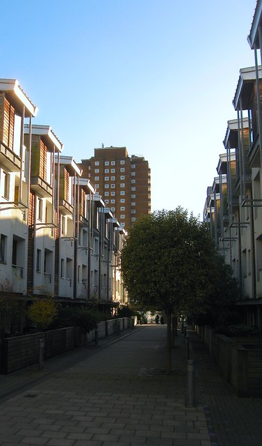
Image: © Simon Carey Taken: 21 Nov 2015
Part of the Brighton Station development that was completed around 2006. The pedestrianised walk runs between Sinclair Walk and Cheapside with this section roughly following the course of Queen Street which was built in the late 1840s and demolished around 1900 in order to extend the goods yard. The area then became part of the coal yard until that was shut in the 1970s and subsequently remained undeveloped until 2004. Theobald House is the high rise beyond.
Images are licensed for reuse under creativecommons.org/licenses/by-sa/2.0
Image Location
Latitude
50.829859
Longitude
-0.138548