Roadway at the SE end of Everest Drive, Crickhowell
Introduction
The photograph on this page of Roadway at the SE end of Everest Drive, Crickhowell by Jaggery as part of the Geograph project.
The Geograph project started in 2005 with the aim of publishing, organising and preserving representative images for every square kilometre of Great Britain, Ireland and the Isle of Man.

There are currently over 7.5m images from over 14,400 individuals and you can help contribute to the project by visiting https://www.geograph.org.uk
Roadway at the SE end of Everest Drive, Crickhowell
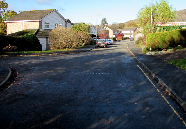
Image: © Jaggery Taken: 22 Nov 2015
Looking NW from a path at the end of the road. The A40 Brecon Road is about 230 metres ahead, out of shot.
Images are licensed for reuse under creativecommons.org/licenses/by-sa/2.0
Image Location
Latitude
51.861703
Longitude
-3.140917