House on Cadmore End Common
Introduction
The photograph on this page of House on Cadmore End Common by Des Blenkinsopp as part of the Geograph project.
The Geograph project started in 2005 with the aim of publishing, organising and preserving representative images for every square kilometre of Great Britain, Ireland and the Isle of Man.

There are currently over 7.5m images from over 14,400 individuals and you can help contribute to the project by visiting https://www.geograph.org.uk
House on Cadmore End Common
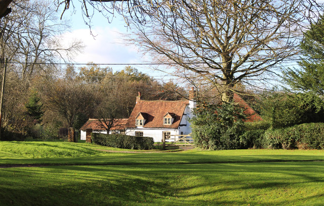
Image: © Des Blenkinsopp Taken: 21 Nov 2015
Cadmore End Common is mostly woodland, but there are a number of isolated houses along the various tracks.
Images are licensed for reuse under creativecommons.org/licenses/by-sa/2.0
Image Location
Latitude
51.629778
Longitude
-0.854992