Mary Rowntree's, Headland
Introduction
The photograph on this page of Mary Rowntree's, Headland by Oliver Dixon as part of the Geograph project.
The Geograph project started in 2005 with the aim of publishing, organising and preserving representative images for every square kilometre of Great Britain, Ireland and the Isle of Man.

There are currently over 7.5m images from over 14,400 individuals and you can help contribute to the project by visiting https://www.geograph.org.uk
Mary Rowntree's, Headland
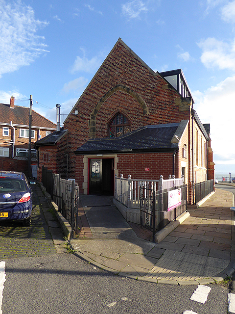
Image: © Oliver Dixon Taken: 19 Nov 2015
The Grade 2 listed 19th century church of St Andrews was derelict for years, before being restored and imaginatively converted into a restaurant and bar named after one of the church-goers.
Images are licensed for reuse under creativecommons.org/licenses/by-sa/2.0
Image Location
Latitude
54.693958
Longitude
-1.182507