Track and Gale Common Ash Disposal Site
Introduction
The photograph on this page of Track and Gale Common Ash Disposal Site by Jonathan Thacker as part of the Geograph project.
The Geograph project started in 2005 with the aim of publishing, organising and preserving representative images for every square kilometre of Great Britain, Ireland and the Isle of Man.

There are currently over 7.5m images from over 14,400 individuals and you can help contribute to the project by visiting https://www.geograph.org.uk
Track and Gale Common Ash Disposal Site
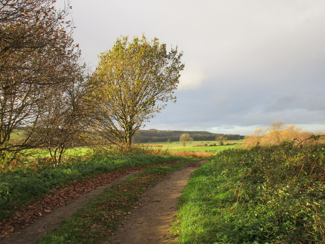
Image: © Jonathan Thacker Taken: 20 Nov 2015
The land immediately to the right of the picture is a small piece of common land and a nature reserve.
Images are licensed for reuse under creativecommons.org/licenses/by-sa/2.0
Image Location
Latitude
53.679382
Longitude
-1.162307