Temporary fence, Cwrt Pencraig, Newport
Introduction
The photograph on this page of Temporary fence, Cwrt Pencraig, Newport by Jaggery as part of the Geograph project.
The Geograph project started in 2005 with the aim of publishing, organising and preserving representative images for every square kilometre of Great Britain, Ireland and the Isle of Man.

There are currently over 7.5m images from over 14,400 individuals and you can help contribute to the project by visiting https://www.geograph.org.uk
Temporary fence, Cwrt Pencraig, Newport
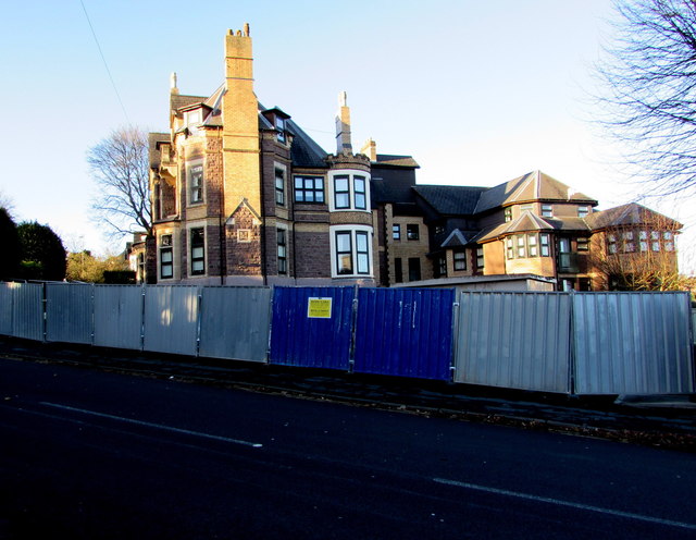
Image: © Jaggery Taken: 21 Nov 2015
Viewed across Caerau Road on November 21st 2015. Built in 1900, Cwrt Pencraig was converted in 1990 into 30 1- and 2-bedroom flats, managed by Newport City Homes.
Images are licensed for reuse under creativecommons.org/licenses/by-sa/2.0
Image Location
Latitude
51.584103
Longitude
-3.006791